
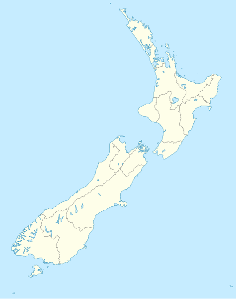
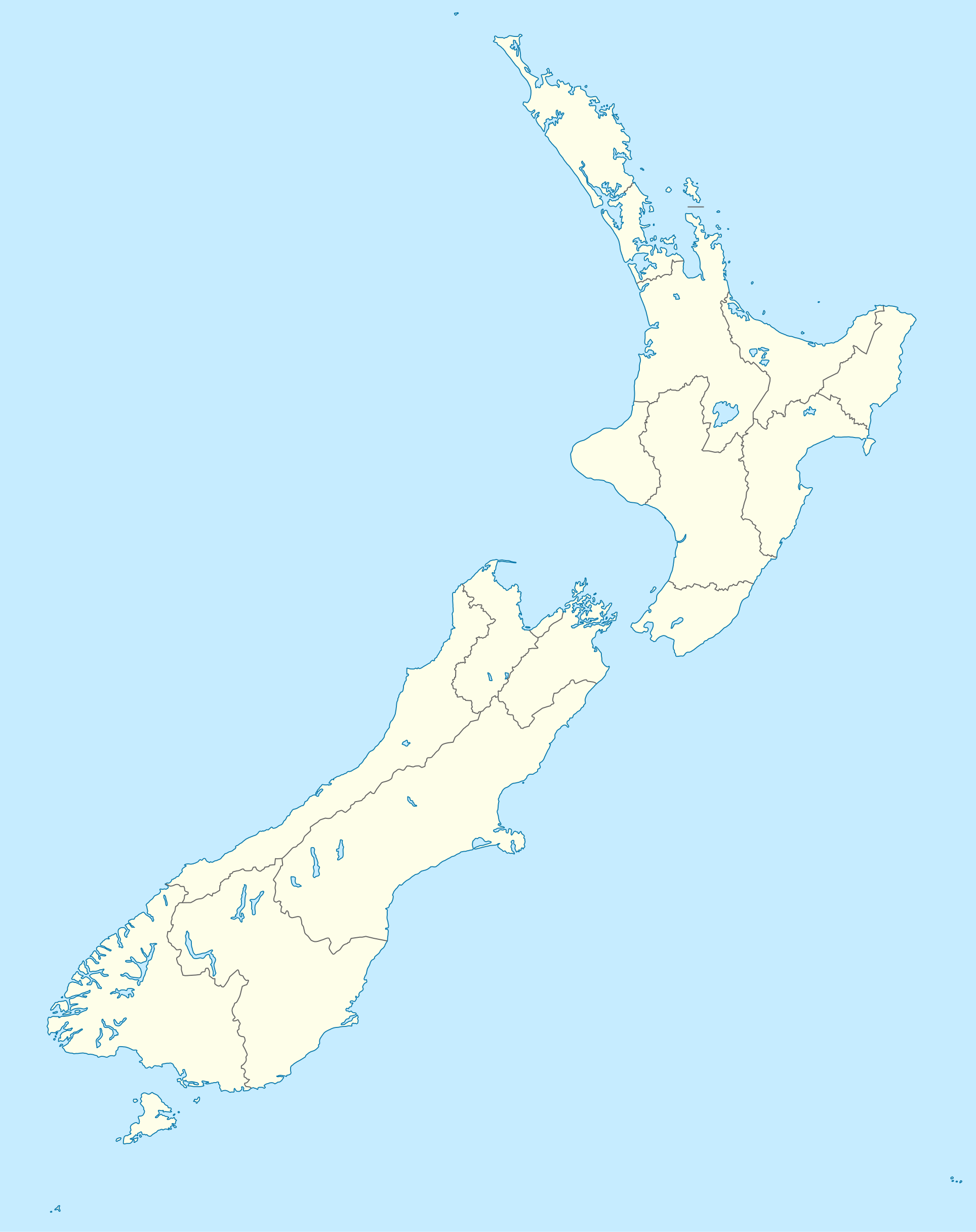
File:New Zealand location map.svg

Size of this PNG preview of this SVG file: 475 × 599 pixel. Adda resolution: 190 × 240 pixel | 380 × 480 pixel | 609 × 768 pixel | 812 × 1,024 pixel | 1,623 × 2,048 pixel | 1,928 × 2,432 pixel.
Original file (SVG fail, naminali 1,928 × 2,432 pixl, fail saiz: 220 KB)
Somari
| Diskripshan |
Deutsch: Positionskarte von Neuseeland
Quadratische Plattkarte, N-S-Streckung 120 %. Geographische Begrenzung der Karte:
English: Location map of New Zealand
Equirectangular projection, N/S stretching 120 %. Geographic limits of the map:
Svenska: Plats karta över Nya Zeeland
Equirectangular projektion, N/S sträcker sig 120%. Geografiska gränser för kartan:
|
||
| Diet | |||
| Suos |
own work, using
|
||
| Aata | NordNordWest | ||
| Other versions |
Derivative works of this file: |
||
| SVG genesis |
|

Laisnsin
I, the copyright holder of this work, hereby publish it under the following licenses:

|
Pomishan grant fi kapi, dischribiut an/ar madifai dis dakiument anda di toermz a di GNU Free Documentation License, Voerjan 1.2 ar eni lieta voerjan poblish bai di Free Software Foundation; wid no Invieriant Sekshan, no Front-Kova Tex, ah no Bak-Kova Tex. Kapi a di laisn ingkluud ina di sekshan engtaikl GNU Free Documentation License. |
Dis fail laisn anda di Creative Commons Attribution-Share Alike 3.0 Anpuotid laisn.
- Yu frii:
- fi shier – fi kapi, dischribiut ah chranzmit di wok
- fi riimix – fi adap di wok
- Anda di falarin kandishan:
- attribution – Yu fi achribiut di wok di wie spesifai bai di aata ar laisnsa (bot no ina no wie we sojes se deh indaas yu ar yu yuus a di wok).
- shier-shier siem wie – Ef yu alta, chansfaam, ar bil pah dis wok, yu kiah dischibiut di wok we rizolt onggl anda di siem ar simla laisn laka dis wan.
Yu kiah silek di laisn we yu prefa.
File history
Ef yuh waan see wah di file look like dem time deh, click pon dat date/time.
| Date/Time | Thumbnail | Size | User | Comment | |
|---|---|---|---|---|---|
| lates' | 11:05, 18 July 2023 | | 1,928 × 2,432 (220 KB) | NordNordWest | Auckland corr |
| 12:15, 13 August 2009 |  | 1,928 × 2,432 (376 KB) | NordNordWest | ||
| 15:22, 2 September 2008 |  | 1,928 × 2,432 (376 KB) | NordNordWest | {{Information |Description= {{de|Positionskarte von Neuseeland}} Quadratische Plattkarte, N-S-Streckung 120 %. Geographische Begrenzung der Karte: * N: 34.0° S * S: 48.3° S * W: 165.8° O * O: 179.4° O {{en|Location map of [[:en:New |
Weh part di file use
Da page yah use dis file:
Weh part di file deh
Dis ya file use inna dem ya wiki:
- Weh part it deh pon af.wikipedia.org
- Weh part it deh pon als.wikipedia.org
- Weh part it deh pon an.wikipedia.org
- Plantilla:Mapa de localización Nueva Zelanda
- Auckland
- Queenstown (Nueva Zelanda)
- Arrowtown
- Rotorua
- Wanaka
- Matamata
- Mount Cook Village
- Christchurch
- Cambridge (Nueva Zelanda)
- Lake Tekapo
- Sky Tower (Auckland)
- Nelson (Nueva Zelanda)
- Tarras
- Te Anau
- Geraldine (Nueva Zelanda)
- Cardrona (Nueva Zelanda)
- Puent d'a badía d'Auckland
- Seu d'a Santisma Trinidat d'Auckland
- Seu de Cartón de Christchurch
- Puent penchau d'a foz d'o Kawarau
- Seu de Christchurch
- Seu d'o Santísmo Sacramento de Christchurch
- Wellington
- Weh part it deh pon ar.wikipedia.org
Vyuu more global usage a dis fail.