
File:Location Austria EU Europe.png

Size a dis ya preview: 721 × 600 pixel Adda resolution: 289 × 240 pixel | 577 × 480 pixel | 923 × 768 pixel | 1,231 × 1,024 pixel | 2,056 × 1,710 pixel.
Original file (2,056 × 1,710 pixel, size a di file: 320 KB, MIME type: image/png)

|
File:EU-Austria.svg is a vector version of this file. It should be used in place of this PNG file when not inferior.
File:Location Austria EU Europe.png → File:EU-Austria.svg
For more information, see Help:SVG. |
 |
Somari
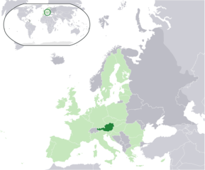
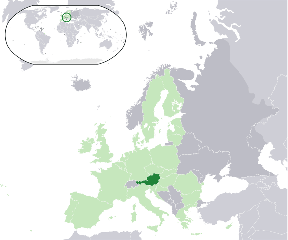
| Diskripshan | Location map: Austria (dark green) / European Union (light green) / Europe (dark grey); inspired by and consistent with general country locator maps by User:Vardion, et al. |
| Diet | |
| Suos | Uon wok |
| Aata | Quizimodo |
Laisnsin
| This work has been released into the public domain by its author, I, Quizimodo. This applies worldwide. In some countries this may not be legally possible; if so: I, Quizimodo grants anyone the right to use this work for any purpose, without any conditions, unless such conditions are required by law. |
File history
Ef yuh waan see wah di file look like dem time deh, click pon dat date/time.
| Date/Time | Thumbnail | Size | User | Comment | |
|---|---|---|---|---|---|
| lates' | 16:22, 18 August 2017 | | 2,056 × 1,710 (320 KB) | Kontrollstellekundl | added Croatia to EU |
| 16:18, 18 August 2017 |  | 2,056 × 1,710 (320 KB) | Kontrollstellekundl | added Croatia | |
| 20:14, 17 June 2007 |  | 2,056 × 1,710 (174 KB) | Quizimodo~commonswiki | image (updated) | |
| 04:42, 17 June 2007 |  | 2,056 × 1,710 (226 KB) | Quizimodo~commonswiki | image (tweaked) | |
| 02:28, 17 June 2007 |  | 2,056 × 1,710 (226 KB) | Quizimodo~commonswiki | image (tweaked) | |
| 02:18, 17 June 2007 |  | 2,056 × 1,710 (226 KB) | Quizimodo~commonswiki | {{Information |Description=Location map: Austria (dark green) / European Union (light green) / Europe (dark grey); inspired by and consistent with general country locator maps by User:Vardion, et al |Source=self-made |Date=17 June 2007 |Author= [[User:Qui |
Weh part di file use
No piej no de we lingk dis fail.
Weh part di file deh
Dis ya file use inna dem ya wiki:
- Weh part it deh pon az.wiktionary.org
- Weh part it deh pon ceb.wikipedia.org
- Weh part it deh pon dz.wikipedia.org
- Weh part it deh pon en.wikipedia.org
- Weh part it deh pon eu.wiktionary.org
- Weh part it deh pon hu.wikipedia.org
- Weh part it deh pon it.wikibooks.org
- Weh part it deh pon ja.wikipedia.org
- Weh part it deh pon ja.wikivoyage.org
- Weh part it deh pon kbp.wikipedia.org
- Weh part it deh pon kn.wikipedia.org
- Weh part it deh pon nl.wikipedia.org
- Weh part it deh pon pi.wikipedia.org
- Weh part it deh pon pl.wiktionary.org
- Weh part it deh pon pt.wikipedia.org
- Weh part it deh pon ru.wikipedia.org